Know which fields need a closer look.
Bring weather, satellite observations and field visits into the same view.
You cannot visit every field every week.
Remote observations help you decide where to look. Field observations help you understand what is happening. Hypha keeps both connected to the crop, its stage and its management history.
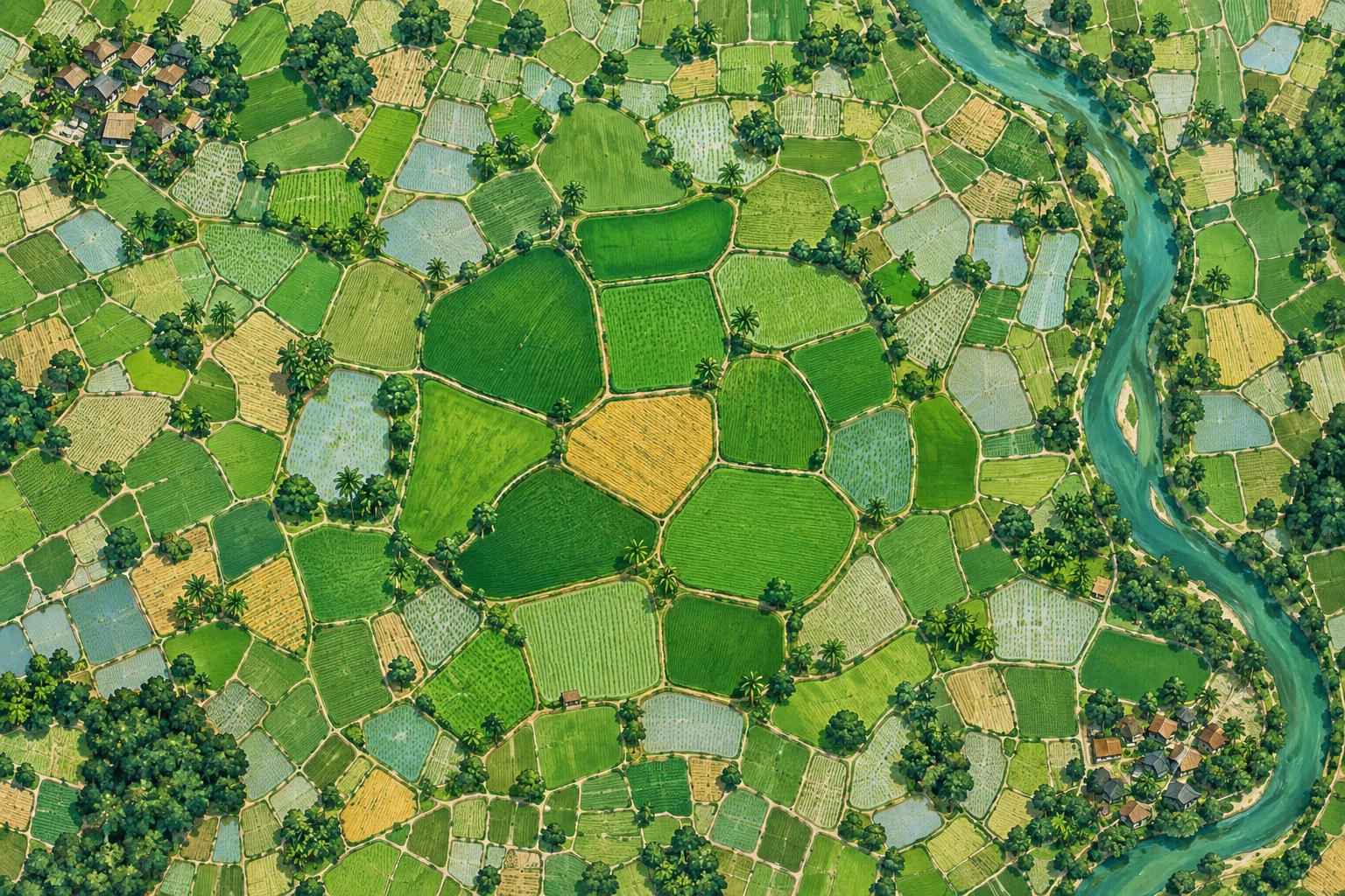 Conceptual illustration
Locate the field
Map its boundary and record the crop. Keep a supplied coordinate separate from a confirmed field area.
Follow conditions
Review available imagery, crop signals and weather alongside input dates. Keep acquisition dates and missing observations visible.
Send the right field check
Record crop stage, leaf colour, water conditions or symptoms with the date. Use the visit to investigate the signal and review the next action.
Field boundaries or coordinates, crop dates and recent observations. A confirmed boundary makes the area being monitored clearer.
A shared view of field conditions to help prioritize visits and review the timing of planned operations.
Clouds, image resolution and field size affect what can be seen. Satellite signals do not by themselves diagnose a disease, measure tissue nutrients or prove a product worked.
Compare practices with field records →See how it fits your work.
Bring your crop programme or a few field records. We’ll show the software, confirm coverage and explain the cost of getting started.